Trek in Brief
Duration: 8 days
Entry: Gawahati, Assam, India
Exit: Paro, Bhutan
Altitude: 686-2218m
Standard: moderate to hard
Best Seasons: throughout year, best in winter
Place: Indian plains-south-east-east Bhutan


Duration: 8 days
Entry: Gawahati, Assam, India
Exit: Paro, Bhutan
Altitude: 686-2218m
Standard: moderate to hard
Best Seasons: throughout year, best in winter
Place: Indian plains-south-east-east Bhutan
Day 1: Guwahati (India) to Samdrup Jongkhar (Bhutan)
Day 2: Samdrup Jongkhar to Nelang
Day 3: Nelang to Radingphu
Day 4: Radingphu to Mongling
Day 6: Demri Zam to Denchung
Day 7: Denchung to Cheya
Day 8: Cheya to Trashigang
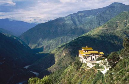
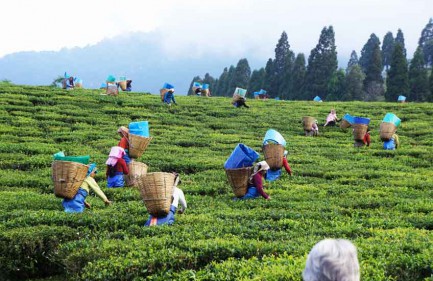
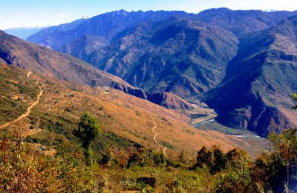
This trek harkens back to the days when eastern Bhutan had no roads. As the border area with India was the only source of salt, the people hiked along this route to the border settlement called Gudama to buy it and carry it back home all the way. We retrace this route. Every stop has a story to tell, every climb and descent bear marks of yesteryears. We tread through farms, numerous villages, lowland to upland forests, and meet hordes of local people with varied lifestyle. In many ways, the route introduces us to two civilizations – India down south and Bhutan up north.
• The border town of Samdrup Jongkhar and adjoining areas which carry quaint looks of both Indian and Bhutanese culture and influences.
• We delve into heartland of eastern Bhutan, pretty much unexplored and unknown to outside world.
• We take a firsthand look at how ancient Bhutan is giving way to the new – development and modernization. This region has probably the last remnants of Bhutan’s yesteryear.


